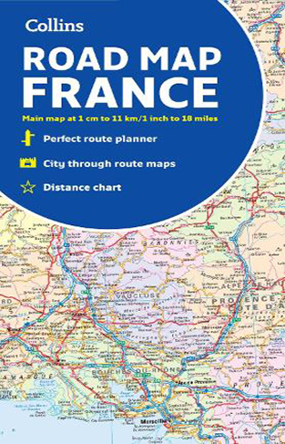
Collins Map of France
By: Collins Maps
-
Rs 1,595.00
Due to constant currency fluctuation, prices are subject to change with or without notice.
The map shows individual department by name. All cities, towns, roads, European route numbers, motorways and toll motorways are clearly shown, making it the ideal map for planning and route-finding. The map shows the road network in detail for easy route planning. With its political coloring of departments, it is ideal for reference and business users also.
Main features:
• Fully revised and updated
• Clear, detailed road network
• Through-route maps of Paris, Lyon, Marseille, Strasbourg, and Toulouse
• Distance chart giving distances in kilometers between main towns
• Key to department names and numbers, and list of regions
• Internet links to further information
• Full Index to place names
• Map key in English, French, and German.
Covers the whole of France from the Belgian and German borders in the north to the Spanish border in the south, and from the Brest Peninsula in the west to the Italian and Swiss borders in the east. Also includes the island of Corsica.
Zubin Mehta: A Musical Journey (An Authorized Biography)
By: VOID - Bakhtiar K. Dadabhoy
Rs 840.00 Rs 1,050.00 Ex Tax :Rs 840.00
Judgment of Paris: California vs France and the 1976 Wine Tasting That Changed the World
By: George M. Taber
Rs 792.00 Rs 1,980.00 Ex Tax :Rs 792.00
National Geographic Guide to Scenic Highways and Byways - (PB)
By: National Geographic
Rs 7,105.50 Rs 7,895.00 Ex Tax :Rs 7,105.50
Judgment of Paris: California vs France and the 1976 Wine Tasting That Changed the World
By: George M. Taber
Rs 792.00 Rs 1,980.00 Ex Tax :Rs 792.00
No recently viewed books available at the moment.
Zubin Mehta: A Musical Journey (An Authorized Biography)
By: VOID - Bakhtiar K. Dadabhoy
Rs 840.00 Rs 1,050.00 Ex Tax :Rs 840.00
Judgment of Paris: California vs France and the 1976 Wine Tasting That Changed the World
By: George M. Taber
Rs 792.00 Rs 1,980.00 Ex Tax :Rs 792.00


-120x187.jpg?q6)


-120x187.jpg?q6)


